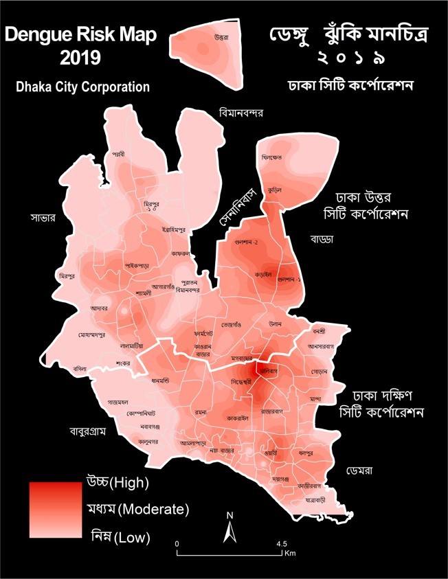
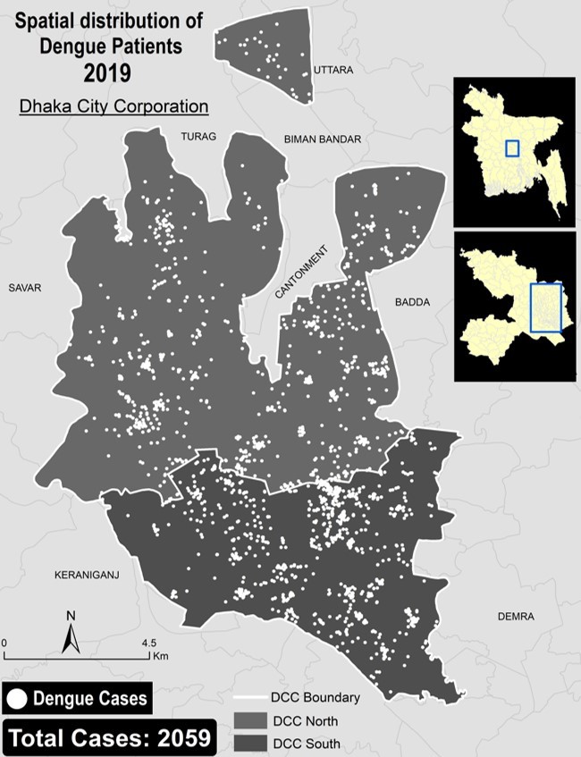
The aim of this project was to identify the dengue risk zones on the basis of the dengue patient data. It assisted the government in combating the dengue outbreak by alerting disease surveillance and other sectors about the risk zones and level of danger. The location and other details of the dengue patient were provided by the National Malaria Elimination and Aedes Transmitted Disease Control Program, CDC, DGHS. Twenty volunteers were assigned for dengue data entry and data processing. The location of the patients was plotted on a map. Processed data was used to map the risk zones within Dhaka city. Map of the spatial distribution of the dengue patients and high risk zones were prepared. These maps are based on data of 2059 dengue patients in 22 hospitals in Dhaka. Dengue patient location data, as well as Aedes mosquito density data, have been used. Although the origin of mosquitoes is not identified, the idea of high risk areas can be found on the map. For micro-level risk zoning, this initiative leads to a dengue drone survey and a dengue household survey. For a better understanding and monitoring of the dengue situation, a dashboard was created to visualize the dengue patient distribution and dengue risk zones.