Who we are
As our name suggests, we are a group of Bangladesh-based mapmakers
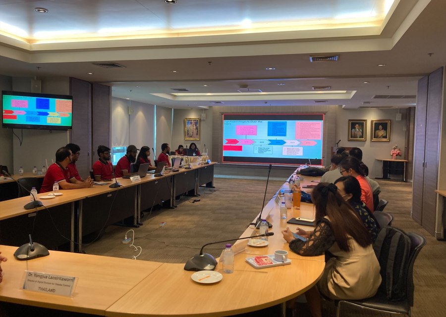
GroupMappers is a Bangladeshi crowdsourcing initiative that utilizes geospatial technology for public health issues. Established in 2017, it is led by the Mahidol Oxford Tropical Medicine Research Unit and the Communicable Disease Control division of the DGHS in Bangladesh.
The organization’s 20 core members possess a strong GIS aptitude and diverse backgrounds in education and professional experience. Starting with village mapping, our success in the field has continued to grow.


Mission
“Empowering communities through the utilization of crowdsourced mapping and data analysis for enhanced public health outcomes.”
What we do
By utilizing a geospatial approach, we aim to address public health issues through the development of innovative solutions. This approach involves using geographical data and technologies, such as mapping and spatial analysis, to gain a better understanding of the distribution and spread of diseases, identify high-risk areas, and evaluate the effectiveness of different interventions.
By using this approach, we can improve the targeting and delivery of public health interventions and ultimately improve the health outcomes of affected communities.
The GroupMappers team has extensive expertise in both collection and management of geospatial data. They utilize a variety of methods to gather information, including key informant interviews, participatory rural appraisals, and surveys using tools such as ODK, Kobo Toolbox, and SMS. They also provide technical support to different communicable disease control programs, including rabies, malaria, aedes-transmitted infections, and soil transmitted helminths. GroupMapper’s database design and development skills encompass data cleaning, quality control, and data transformation, and they use cutting-edge tools to create customizable geo-referencing systems.
Spatial analysis and modeling are integral to GroupMapper’s work, particularly physical accessibility analysis. Their experience includes utilizing geospatial data to perform spatial interpolation, overlay analysis, and spatial statistics, among other techniques. These capabilities enable them to support public health initiatives by providing data-driven insights and recommendations
GroupMappers excel in developing interactive web maps and visualizations that convey geospatial information to end-users. Expertise includes building web mapping applications, creating customized map styles, and integrating data from multiple sources to effectively present spatial data. They have applied these skills to a range of public health initiatives, enhancing comprehension and decision-making in the field. Furthermore, they possess extensive knowledge of producing tailored thematic maps for external organizations
GroupMappers provides support for making geospatial data accessible to stakeholders and end-users. This support includes data publishing, sharing, and implementation of data access policies. Through these efforts, GroupMappers aims to facilitate the effective use of geospatial data in public health and related domains.
Volunteerism and Support
As a crowdsourcing initiative, GroupMappers values the power of volunteerism and engages young individuals who share a passion for exploring the world of geospatial techniques and public health. This provides an opportunity for individuals to participate in action-oriented and impactful activities.
Volunteers can choose to participate in segments that align with their interests, such as working for fund raising , mapping, writing for newsletters or conducting sessions in GIS/RS club cafes.

Founders
Latest News
Join our effort
You can support us in our mission to improve public health in Bangladesh, particularly in remote areas like Bandarban, by making a donation, sharing your technical knowledge or collaborating with the organization.
Donations can help fund GroupMapper’s efforts to collect and analyze geospatial data and support the implementation of public health interventions. Your technical knowledge, especially in the field of geospatial technologies, can also help the organization to improve its data collection and analysis capabilities.
Collaborating with GroupMappers can provide opportunities to work on real-world public health challenges in Bangladesh and also help to build relationships and networks in the field. By working together, we can make a real difference in improving public health outcomes in Bangladesh.
By the number
20
Core Experts
19
Regular Employees
50+
Active Volunteers
6
Ongoing Projects


